Hybrid Solar Eclipses in the USA: 1001 - 3000
Fred Espenak
Introduction
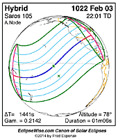
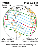
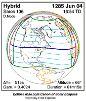
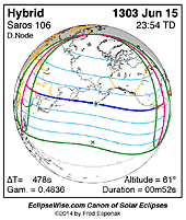
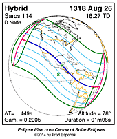
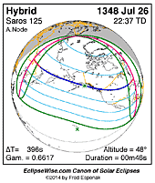
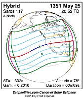
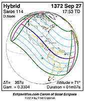
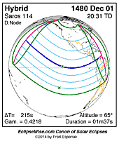
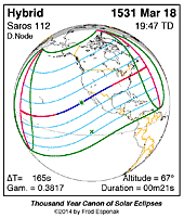
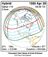
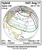
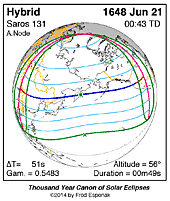
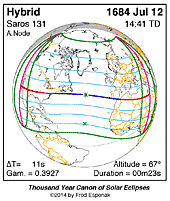
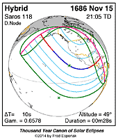
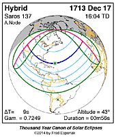
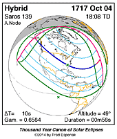
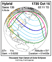
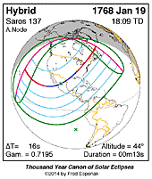
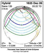
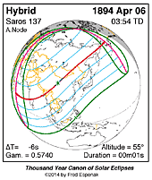
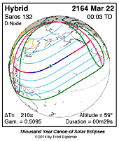
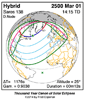
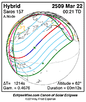
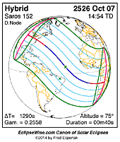
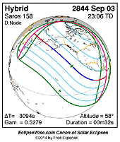
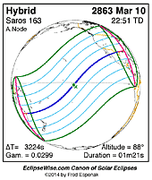
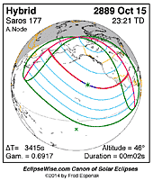
This page is an atlas of all Hybrid solar eclipses in the USA from 1001 through 3000. Each map depicts the geographic region of visibility for a single eclipse. The central eclipse path is plotted in either blue (total) or red (annular). Every map is itself a hyperlink to the EclipseWise Prime page for that eclipse where a larger map and complete details for the eclipse can be found. Visit the Key to Solar Eclipse Maps for a detailed explanation of these maps.
Below each map, Google Eclipse Map is a hyperlink to the hybrid eclipse path plotted on a zoomable Google map. Near the bottom of this page are a series of hyperlinks for more on information on solar eclipses.
This page is based on the publication:
Atlas of Central Solar Eclipses in the USA
|

